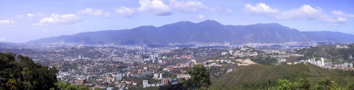
The mountains that keep me sane... Between Caracas and the Caribbean lies the Central Coastal Range. For obvious reasons these are the mountains closest to home, so this is where most Caracas residents do their hiking.
Panoramic photo of the Avila with Caracas in the foreground, taken from El VolcŠn (near Oripoto).
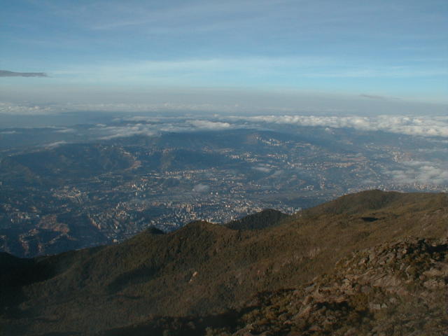 And Pico Oriental as seen from Pico NaiguatŠ:
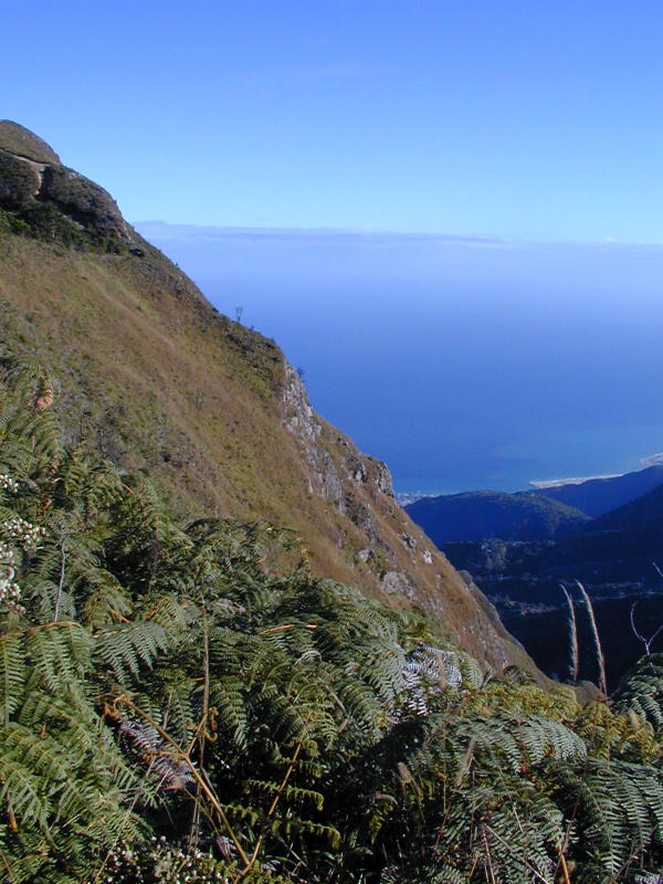
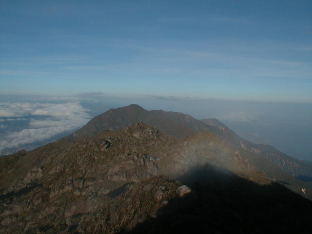 As you can imagine, since this is the Coastal Range, you can see the Caribbean from the ridge. Here are some photos-
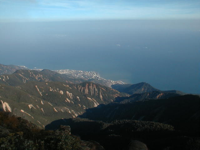
one from the Anfiteatro (camping area close to Pico NaiguatŠ), taken in March 2000. You can see the damage caused by the landslides
a few months earlier :-(
As you can imagine, since this is the Coastal Range, you can see the Caribbean from the ridge. Here are some photos-
one from the Anfiteatro (camping area close to Pico NaiguatŠ), taken in March 2000. You can see the damage caused by the landslides
a few months earlier :-(
 Another picture taken more recently from Picacho de GalipŠn, close to the villages of GalipŠn and not too far from
the Humboldt Hotel.
Another picture taken more recently from Picacho de GalipŠn, close to the villages of GalipŠn and not too far from
the Humboldt Hotel.
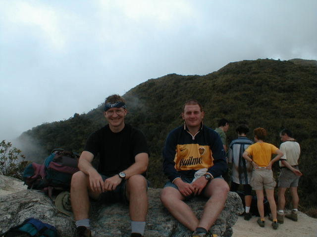
 A picture of my friend Andrew and myself on our way back from NaiguatŠ. It's not often that you'll find a Kiwi wearing
a Boca Juniors shirt!
A picture of my friend Andrew and myself on our way back from NaiguatŠ. It's not often that you'll find a Kiwi wearing
a Boca Juniors shirt!
 Back to
home page.
Back to
home page.
Last updated November 2002