
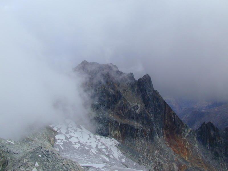
Pico Humboldt is the second highest peak in the Venezuelan Andes, and most climbers seem to agree that it's the most attractive. The summit is at 4942 m (16213 ft for the metric-impaired). Only Pico Bolivar is higher, at 5007 m (16427 ft). There's a lot less snow on Bolivar, though.
If you look at this picture of Humboldt closely, you will see what appears to be a little dot on the glacier, just above a faint curved line starting at the bottom of the glacier. That's a five man rope team going up on the ice!
I reached the summit of Pico Humboldt on April 19th, 2001. A dream fulfilled! This hike had been planned for ages, but the trip kept getting postponed for different reasons: work, illness (hemorrhagic dengue fever just weeks before climbing season in '98), that non-event called Y2K (had to stay in town just in case... nothing happened of course!), lack of training, etc.
Most people start the hike to the Humboldt at La Mucuy ranger station (about 2200 m), spend the first night at Laguna Coromoto, and reach Laguna Verde on the second day. The summit is reached on the third day, and the fourth day hikers return to La Mucuy or continue towards Pico Espejo. Recommended climbing season for most people is the dry season - usually November through April. Conditions during the rainy season are a lot less predictable, and inexperienced climbers are advised to stay away from the peaks.
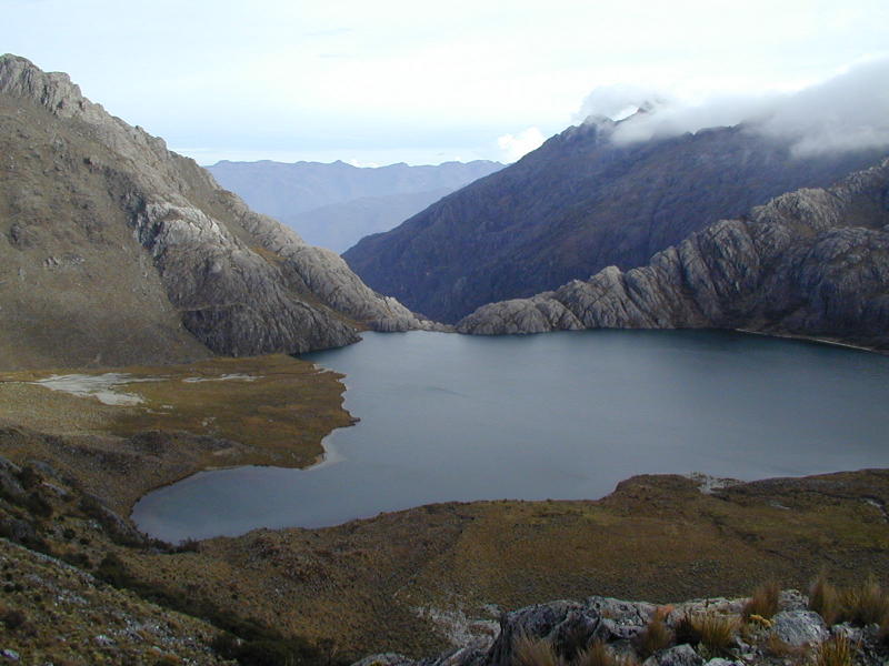
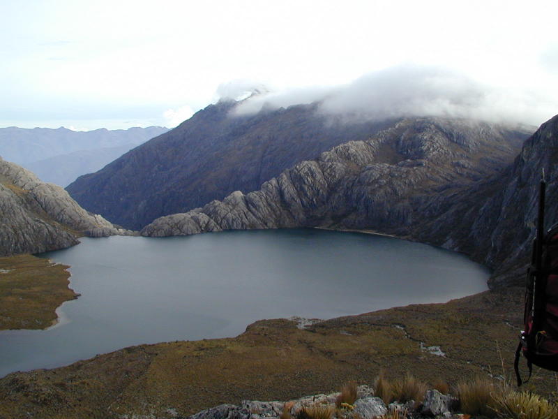
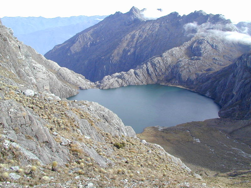
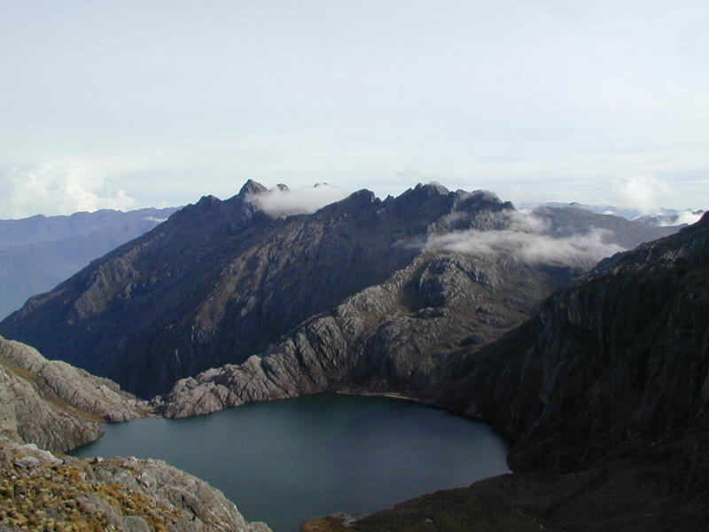
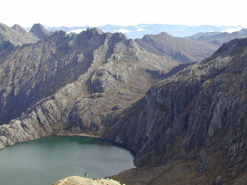
A few pictures of Laguna Verde:
 |
 |
 |
 |
 |
 |
Laguna Verde is one of the most scenic lakes in the Venezuelan Andes. The glaciers off the Humboldt feed into Laguna Verde.
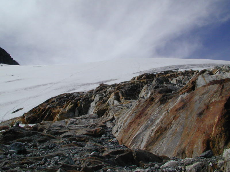
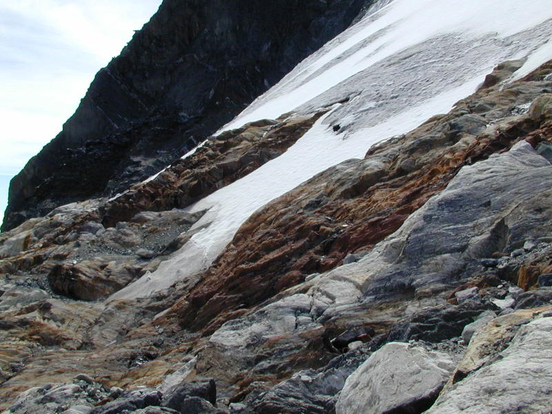
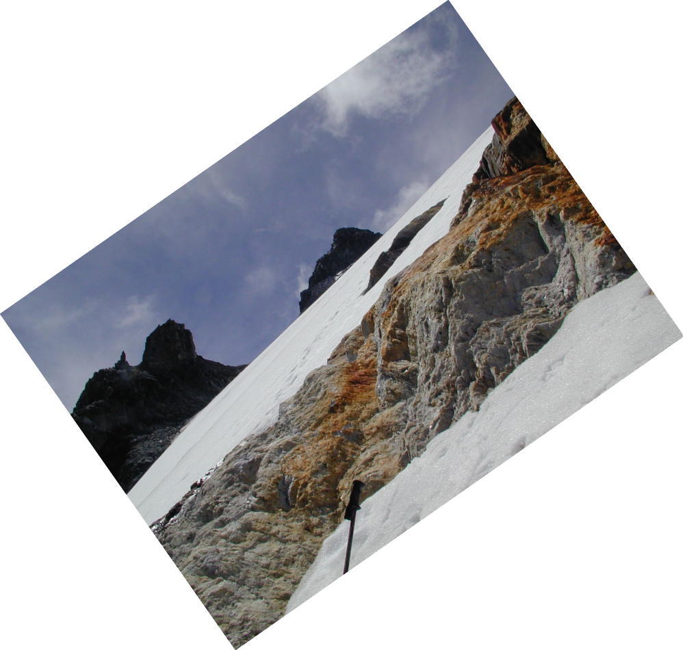
Some pictures of the bottom of the glacier (click on the thumbnails to see a larger image)
 |
 |
 |
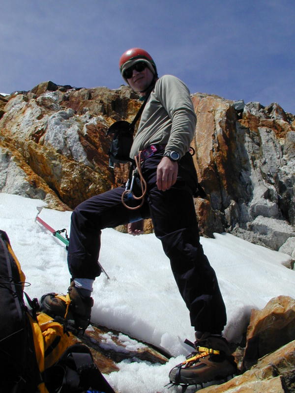 |
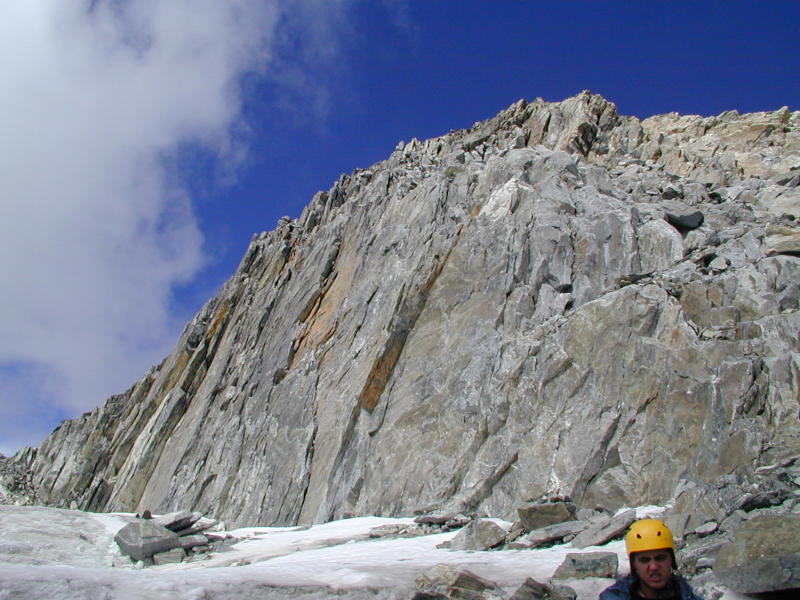
To get a better sense of how steep the bottom of the glacier is, look at this photo. No pictures taken while climbing the glacier - hands were busy with ice axe! ;-)
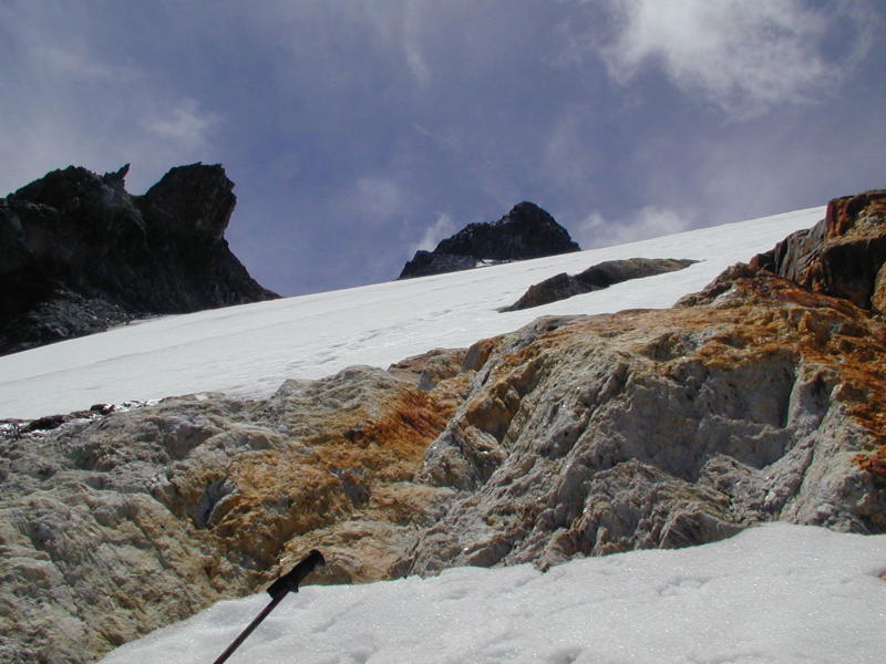
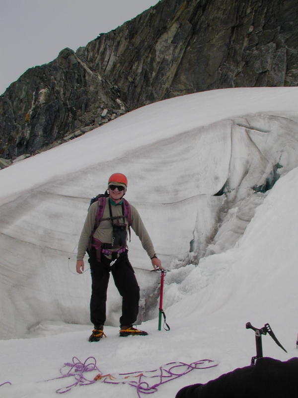
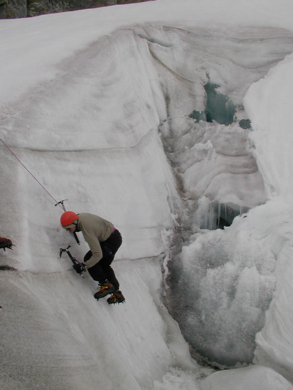
Here's a photo from near the top of the Humboldt Glacier . Before continuing on the summit we spent a while trying out some near-vertical ice.
Some summit photos taken from Humboldt:
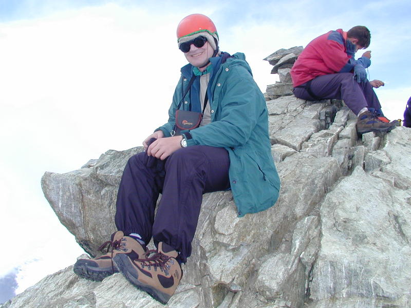
This is the official summit photo.
Here's what the summit looks like from the top of the glacier . For the last part of the climb, you leave your crampons and ice axe behind and scramble up the last few metres.
Pictures of Humboldt's sister peak, Pico Bompland. There's not a lot of room at the top of Bompland... large groups will have to take turns if they want to spend some time there. The conventional approach is to get there from the top of the Humboldt glacier.
More pictures coming soon (and thumbnails for some of the earlier pictures)...
Back to home page.
Last updated December 2001
Webmaster: George Bell